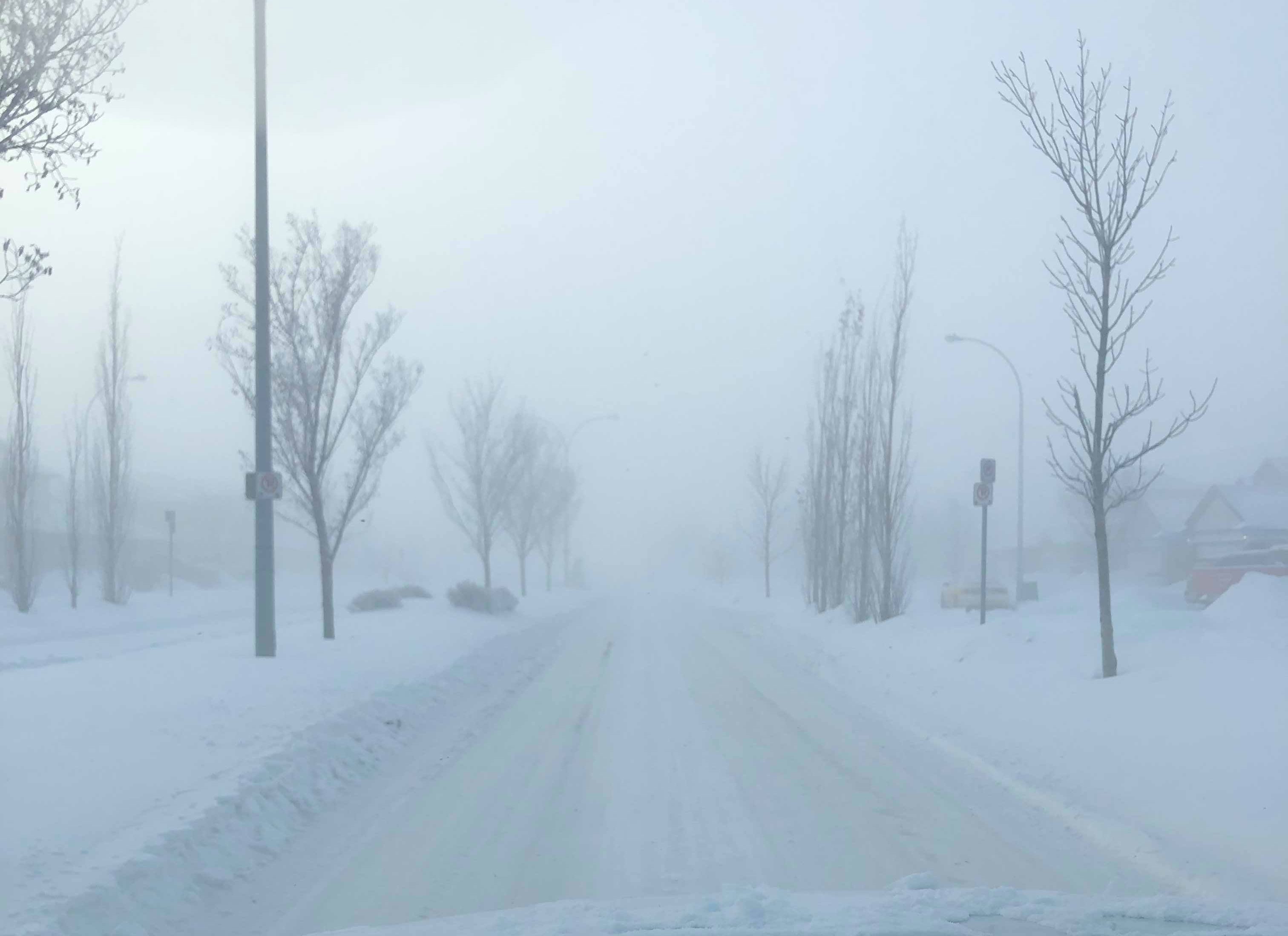
The Grande Prairie region is cold—so cold that Environment Canada identified Teepee Creek as the coldest place in Alberta on the morning of November 25th.
Teepee Creek reached lows of -30.2°C, while the City of Grande Prairie saw temperatures as low as 28 below, before warming up slightly in the afternoon, meaning the region was just a few degrees higher than the coldest place in Canada, which was identified to be Thomsen River, in the Northwest Territories sitting at around -31.4°C at the time of recording.
Brian Proctor, a Meteorologist at Environment Canada, explains that cold air has made its way down to the Peace Country from the Yukon through a phenomenon called “flow aloft,” which allowed cooler air to “slide down” from the arctic territory, leading to the region’s morning-time freeze.
“Really, it’s the flow aloft that has allowed that colder air to slide down and we had that system that went through much of the province on the weekend and what it really did is it sort of tracked off east towards Saskatchewan, and Manitoba and sort of sucked that cold air out of the back side of that low down into the province as much as anywhere else,” he says. “You really open the door for that cold air to slide down from the Yukon and we’re seeing the sort of consequences right now of that factor.”
Proctor says you can think of the phenomenon as a “dome” of frigid air that has parked itself over the Grande Prairie area, leading to some seriously freezing temperatures.
All hope is not lost though, as Proctor explains the cold air will not stay for long. He says warmer winds from the west coast could push the cold away from Grande Prairie; however, more snow is expected to come along with it.
“It’s just settled over the top of the Grande Prairie area and it’s probably going to be the coldest day of the week today, and then we’re looking at a little bit of moderation as we move forward as we manage to get some westerly winds in here for Tuesday to warm things up.”
“What we’re seeing is a funnel system coming and impacting the north and central coast of British Columbia on Wednesday and forming the low as it comes across the Rockies, on late Wednesday night and into Thursday,” he adds. “That’s going to produce that snowfall across the area and it sort of holds in place Thursday night into early Friday before it starts to taper off.”
After the snow dump, Proctor says a “transition” period will begin in Northwestern Alberta, warming the region just in time for the weekend.
“Then we’ll see a little bit of that transition, so we’re seeing a little bit of cold air coming down and a little bit more snow and cold air with that low going across on the Thursday Friday,” he says. “So really not bad a week if you don’t mind the cold air.”
When it comes to the El Niño, La Niña conversation, Proctor says his colleagues have observed some “little hints” of La Niña so far during the season change, though, slightly weaker than usual, which means the winter is “not looking horrible,” at least for right now.
“We’re still seeing little hints of La Niña at this point in time, the models are sort of bouncing around at this time, we’re seeing more neutral conditions or sort of a weak La Niña at this point,” he says. “We’ve seen a little bit more cold air across portions of Northwest Canada and with that I think we’ll probably see temperatures a little bit below normal, and probably a better chance of seeing a bit more snowfall than we normally would, but it’s not looking like a horrible winter at this point in time.”
Per Environment Canada’s most recent forecast, the Grande Prairie region will continue to float around the -14°C to -18°C mark for most of the rest of the week, before warming up at the beginning of December.


