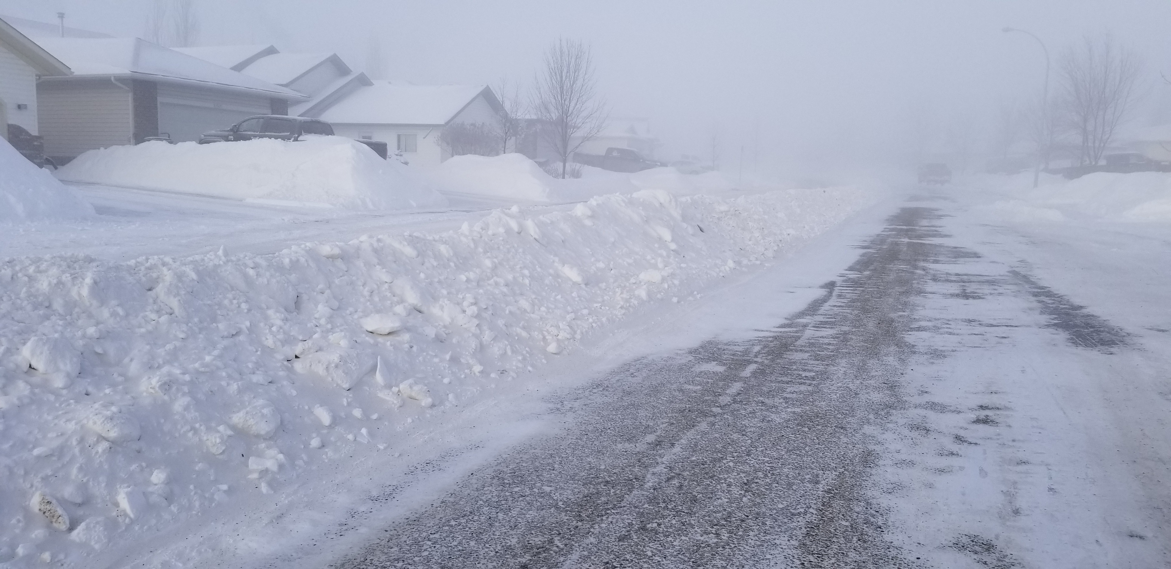
Grande Prairie’s snowfall hasn’t quite been record-setting, but it’s no secret this winter has seen some of the most snow in the Grande Prairie region for some time.
Alysa Pederson, a Meteorologist at Environment Canada explains this year’s snow really started as soon as the temperatures fell, despite a warmer-than-usual autumn.
“Essentially right as it got cold, we had a warm, a really warm fall, and then right about mid-November, it tanked and we got really cold,” she says.
According to Pederson, 66.7 centimetres of snow fell in the month of November alone. Compared to last year’s numbers, the swan city only saw 2.5 centimetres of snow during the same timeframe.
Additionally, taking a look at the combined total precipitation, including both rain and snow, last fall, Grande Prairie experienced around 18 centimetres, with only two centimetres being counted as snowfall.
Pederson explains the significant snow in Grande Prairie is largely due to a warm front from the Pacific coast of British Columbia, carrying a “massive push” of moisture along with it, fighting against frigid Arctic air that has been sitting above the province for several weeks, resulting in the near foot and a half of snow hitting Grande Prairie.
“Basically what’s happening is we have a lot of warmer Pacific air in BC, parts of the province are actually warming up quite a lot, going up 20 degrees in some places from minus 20 to zero today, especially Hinton and south, maybe not so much in Grande Prairie,” she laughs. “With that massive push of moisture, because warm air can hold lots of moisture, it’s being added to that with all that cold air.”
Pederson says all hope isn’t lost for Grande Prairie’s warm winter lovers though. She says the warm front is on track to move eastward, along with all of its snow, towards Saskatchewan in the coming days.


